


The Sentinels are a family of missions developed by ESA for the operational needs of the Copernicus programme. Each mission, carrying a different range of technologies, will focus on various aspects of Earth Observation: Atmospheric, Oceanic, and Land monitoring, and the data will be of use for a broad range of applications.
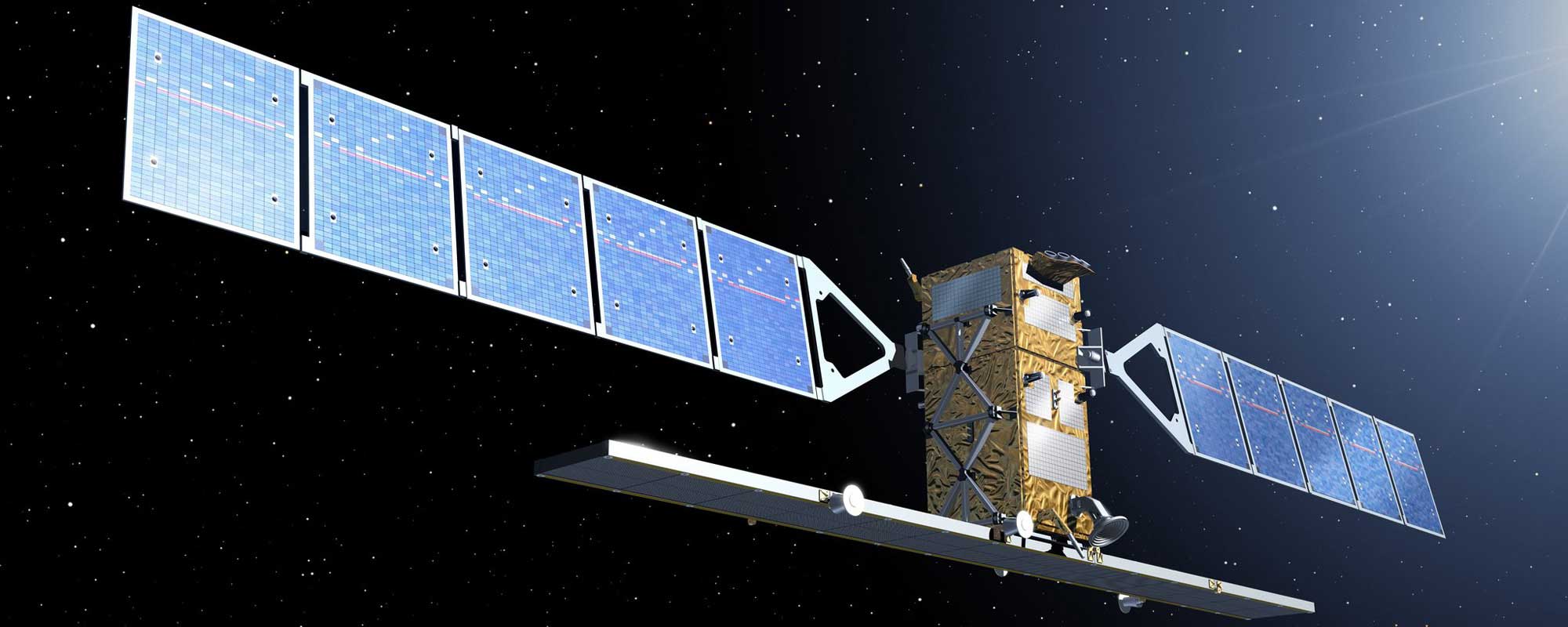
The Sentinel-1 mission is composed of a constellation of two satellites sharing the same orbital plan and carrying an advanced radar instrument which enables them to acquire imagery during day or night time under all weather conditions for maritime and land monitoring, emergency response, climate change and security.
Mission Details
Launch: Sentinel-1A on 3 April 2014, Sentinel-1B on 25 April 2016
Orbit: Polar, Sun-synchronous at an altitude of 693 km
Revisit time: Sentinel-1 is a constellation of two satellites orbiting 180° apart, so the mission images the entire Earth every six days (at the equator).
Instrument: C-band Synthetic Aperture Radar (SAR)
Main applications: Monitoring sea ice, oil spills, marine winds, waves & currents, land-use change, and emergency management (e.g. for floods and earthquakes).
Sentinel-1 Data Availability
All datasets with creation date older than 30 days are currently stored on the ONDA Cloud Archive.