


The Sentinels are a family of missions developed by ESA for the operational needs of the Copernicus programme. Each mission, carrying a different range of technologies, will focus on various aspects of Earth Observation: Atmospheric, Oceanic, and Land monitoring, and the data will be of use for a broad range of applications.
Sentinel-3 carries multiple instruments to measure sea-surface topography, sea- and land-surface temperature, and ocean- and land-surface colour, with the main objective to support ocean forecasting systems, environmental monitoring and climate monitoring.
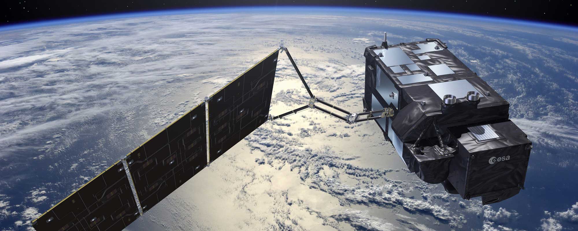
Mission Details
Launch: Sentinel-3A on 16 February 2016, Sentinel-3B on 25 April 2018
Orbit: Polar, Sun-synchronous at altitude of 815 km
Revisit time: Sentinel-3 is a constellation of two satellites which will be orbiting 140° apart. One satellite provides a revisit time of 27 days (385 orbits).
Instruments:
Ocean and Land Colour Instrument (OLCI)
Sea and Land Surface Temperature Radiometer (SLSTR)
Synthetic Aperture Radar Altimeter (SRAL)
Microwave Radiometer (MWR)
Main applications: Sea-level change & sea-surface temperature mapping, water quality management, sea-ice extent and thickness mapping; land-cover mapping, vegetation health monitoring; glacier monitoring; water resource monitoring; wildfire detection; numerical weather prediction.
Sentinel-3 Data Availability
All datasets with creation date older than 30 days are currently stored on the ONDA Cloud Archive.