


The Sentinels are a family of missions developed by ESA for the operational needs of the Copernicus programme. Each mission, carrying a different range of technologies, will focus on various aspects of Earth Observation: Atmospheric, Oceanic, and Land monitoring, and the data will be of use for a broad range of applications.
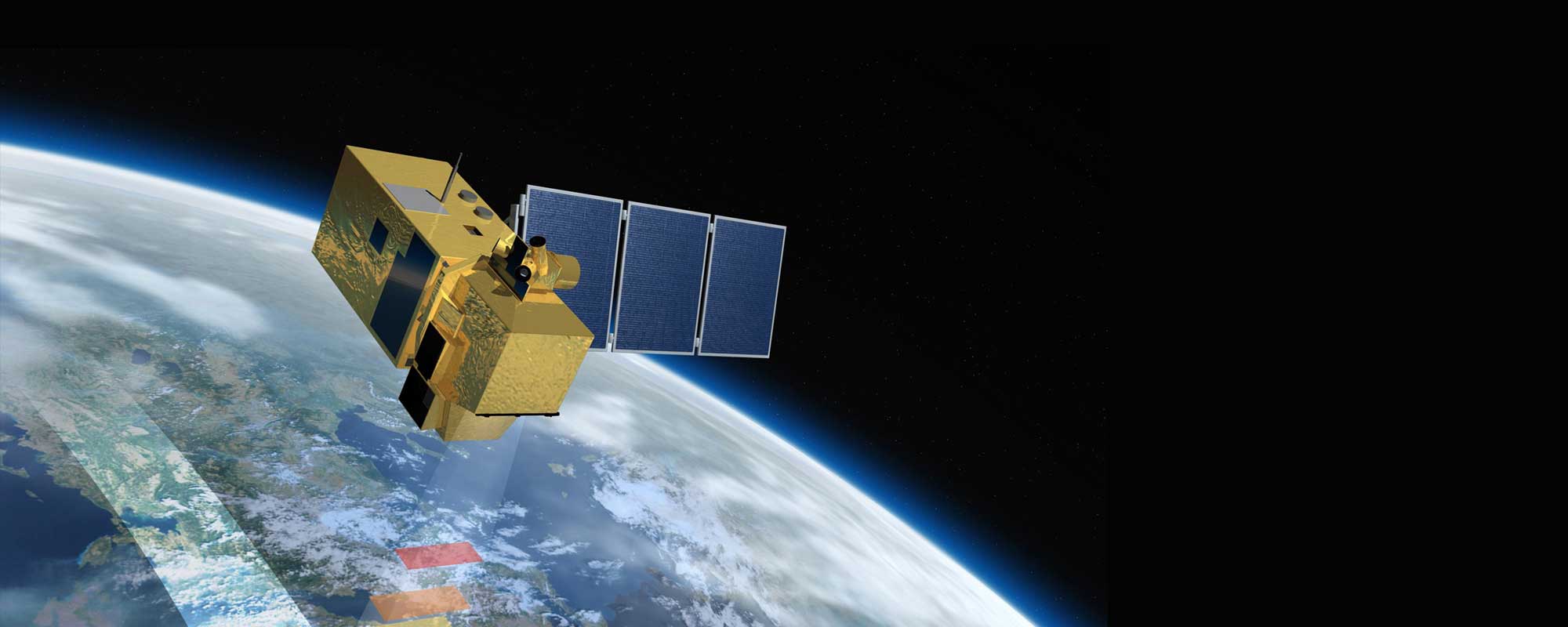
The Sentinel-2 mission is based on a constellation of two identical satellites in the same orbit for optimal coverage and data delivery. They carry an optical instrument payload mainly providing information for agricultural and forestry practices and for helping manage food security.
Mission Details
Launch: Sentinel-2A on 23 June 2015, Sentinel-2B on 7 March 2017
Orbit: Polar, Sun-synchronous at altitude of 786 km
Revisit time: Sentinel-2 is a constellation of two satellites orbiting 180° apart, so the same spot over the equator is revisited every five days (and this is even faster at higher latitudes).
Instrument: Multispectral imager (MSI)
Main applications: Monitoring agriculture, forests, land-cover and land-use change detection; mapping biophysical variables (e.g. leaf chlorophyll content); monitoring coastal and inland waters; risk mapping and disaster mapping.
Sentinel-2 Data Availability
All datasets with creation date older than 30 days are currently stored on the ONDA Cloud Archive.
* Excluding old processing baselines (< 05.00)